Lower Msimbazi River Basin Redevelopment, Tanzania
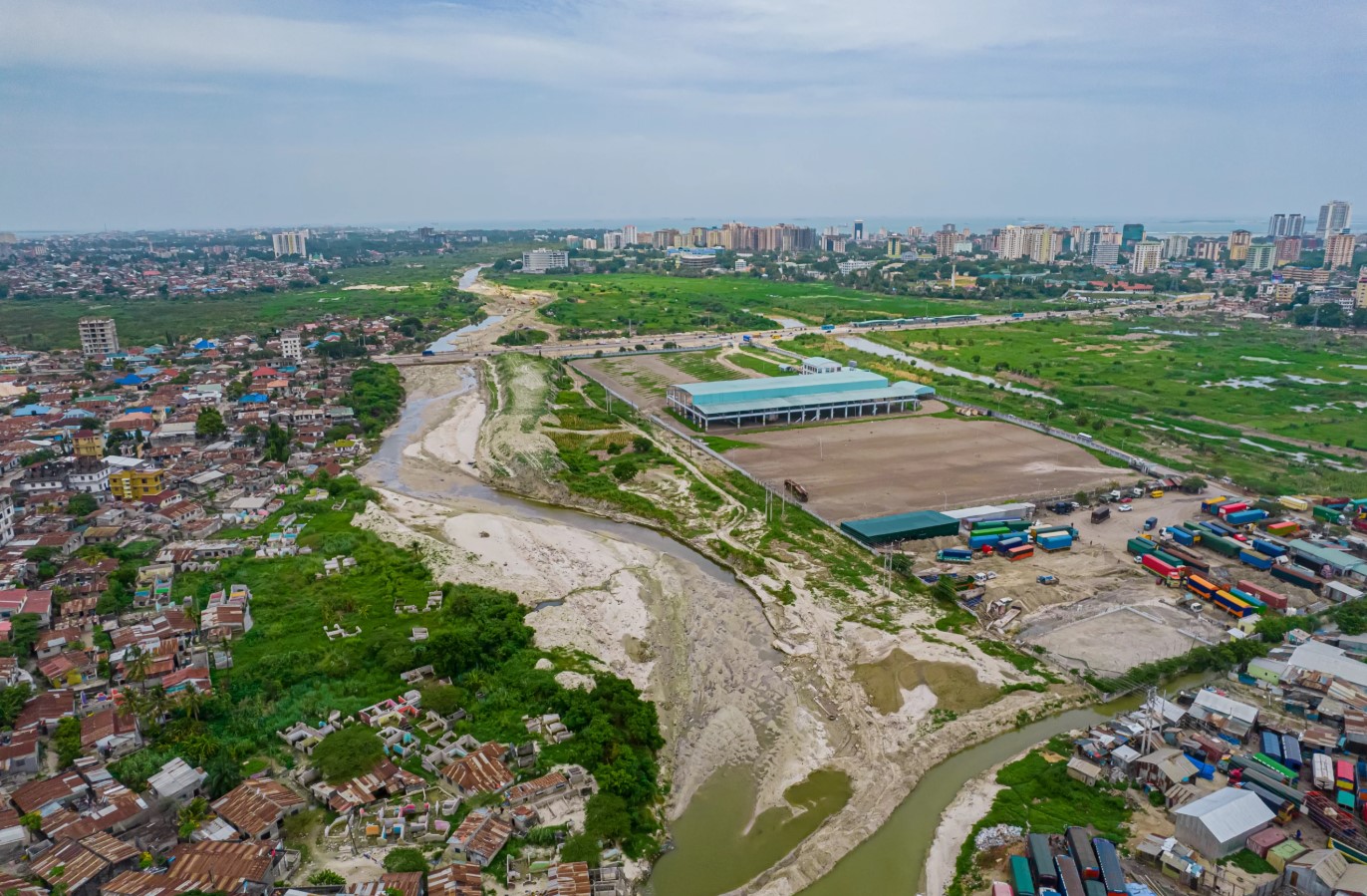
MIC-HUB is collaborating with Sasaki on the redevelopment project for the Lower Msimbazi Basin in Dar es Salaam, Tanzania. This project addresses one of the most urgent planning challenges in East Africa.
Commissioned by the Government of Tanzania and financed by the World Bank, the project will define an integrated planning and urban design framework for the future of the Lower Msimbazi Basin, a strategic yet highly vulnerable area of Dar es Salaam.
Home to 1.6 million people, the basin accommodates vital infrastructure connecting the city’s Central Business District with the wider metropolitan area. However, it is exposed to increasingly frequent flooding, rapid urbanisation, and the growing effects of climate change. Over the past ten years, flooding has directly impacted some of the city’s most vulnerable communities on seven occasions, placing around 50,000 people at risk.
The multidisciplinary team, led by Sasaki, will develop a coordinated vision that brings together flood management, ecological restoration, public spaces and urban development. A key element of the plan is the creation of a new city park, which will serve as a major green infrastructure asset designed to absorb floodwaters while providing accessible recreational space for local communities throughout the year.
MIC-HUB is supporting the team in developing a bespoke mobility strategy for Lower Msimbazi Basin. The strategy will focus on innovative, sustainable solutions for access and internal circulation to expand mobility choices, reduce reliance on private cars and improve connectivity across the masterplan. Particular attention will be given to ensuring that movement is safe, efficient and comfortable for all users, while prioritising clean technologies, accessibility, and integration with the wider urban and environmental framework.
Mobility is an integral part of the wider urban and environmental strategy for the project. The area requires an integrated, multimodal, strategic approach to managing travel demand. Transport networks, pedestrian connections and access to essential services will be planned alongside land use, landscape, and water management to create a safer, more accessible district for everyone.
The planning and design process is currently underway and is expected to conclude in 2027.