Mobility Data Science
We live in a complex era, where cities, mobility networks and information systems are increasingly interconnected. In this context, simple sectoral approaches no longer meet the evolving decision-making needs of public administrations and urban operators.
Alongside the vast amount of data now available, there is a growing need for multidimensional (spatial, temporal, sociodemographic and cultural) analyses, which integrate the diverse disciplines and data sources to support informed and strategic choices.
MIC-HUB develops analytical and data-driven approaches to generate new understanding and inform, enrich and guide decision-making processes in the fields of sustainable mobility, urban development and liveable cities.
Using advanced spatial analysis models and machine learning algorithms, the team defines metrics and indicators to improve understanding of mobility dynamics and identify effective solutions for safer, better connected, and more efficient urban environments.
Our analyses include the study of mobility flows across multiple scales and transport modes, evaluations of pedestrian and vehicular densities, travel patterns and road user behaviours, as well as crash data to support targeted safety interventions in diverse urban contexts.
Thanks to advanced data visualisation tools, MIC-HUB transforms complex analyses into clear practical insights, which inform the data, design and decision-making.
Advanced Spatial Analysis
Demand Analysis
Big Data Analitycs
Advanced Spatial Analysis
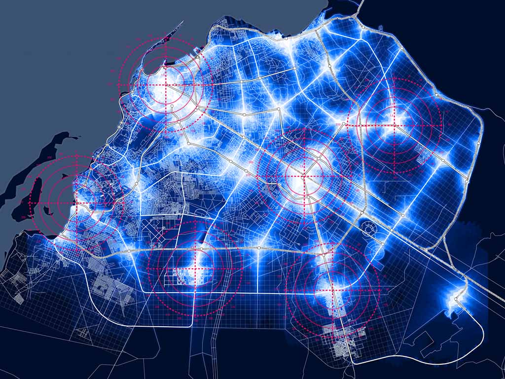
The company has extensive experience in advanced spatial analysis and data visualisation using Geographic Information Systems (GIS). Our work in this area integrates spatial and temporal high-resolution big data with other data sources which are more static to deliver a comprehensive understanding of urban dynamics and mobility behaviours.
MIC-HUB develops urban activation maps, origin–destination flow maps, and temporal signatures that describe inflow and outflow patterns around major urban attractors.
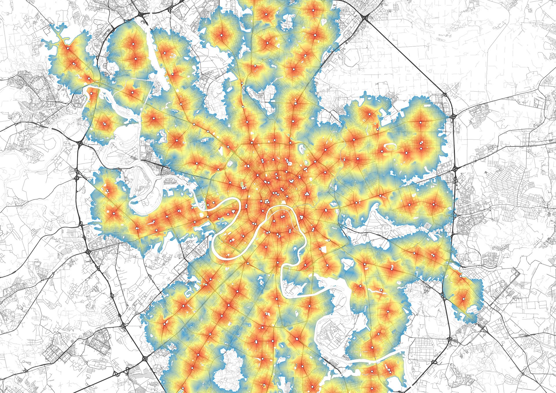
Read moreInternationally recognised metrics, such as PTALs (Public Transport Accessibility Levels) developed by Transport for London, as well as Space Syntax indicators like betweenness are incorporated in the spatial analyses to assess network connectivity and efficiency. MIC-HUB also uses evaluation metrics like Walkscore or other proprietary metrics to assess walkability of the urban space, with the aim of developing active mobility and enhancing the quality of urban environment.
Read lessGeographic Information Systems (GIS)
Analysis of network flows, pedestrian and vehicle density
Spatial and temporal signatures
Public Transport Accessibility Levels (PTAL)
Walkability and accessibility metrics
See the projects
![[:en]Advanced Spatial Analysis with Big Data in Pavia area[:it]Analisi spaziale con i Big Data nell'area di Pavia[:]](https://www.mic-hub.com/wp-content/uploads/2025/06/Pavia_DesLines_Giornata_Vodafone_SDFlines.jpg)
![[:en]Parco Alpi Apuane Masterplan[:it]Masterplan Parco Alpi Apuane[:]](https://www.mic-hub.com/wp-content/uploads/2026/06/ParcoAlpiApuane_data-analysis-trajectories-all-1.jpg)
Demand Analysis
MIC-HUB develops mobility demand estimation models tailored to each project context. These models are based on local primary and secondary data sources, as well as international reference benchmarks.
MIC-HUB favours an activity-based approach to demand estimation. The most common approach to developing demand models is based on first principles, whereby the complexity of mobility patterns is broken down into key components: who is travelling, why, where and when, and by which mode of transport.
Read moreAdvanced clustering techniques and algorithms support demand segmentation into homogeneous groups. Demand models are then calibrated and aligned with the observed mobility patterns of the specific project context.
To calibrate these models, MIC-HUB designs ad hoc surveys on travel behaviour, including quantitative analyses of how this behaviour might change in specific project scenarios. MIC-HUB also calibrates its models using big data analysis of people’s movements via GPS signal tracking.
Read lessEstimation of freight mobility demand
Activity-based approaches and first-principles models
Transport demand segmentation through cluster analysis
Design and analysis of mobility demand surveys
Stated preference analysis
See the projects
Big Data Analitycs
MIC-HUB has developed strong expertise in big data analytics and provides clients with context-specific analyses focused on mobility and location intelligence. These include studies that support retailers in identifying optimal locations for their activities and urban traffic optimisation for public administrations.
MIC-HUB manages the entire data-driven knowledge production cycle, from analysing and cleaning raw location (GPS) data to transforming it into metrics, statistics and mathematical models. These models are designed to reveal mobility patterns in a given area and can be applied to specific needs such as planning development projects, urban planning and commercial site development.
Read moreStarting from GPS signal tracking data collected through apps, navigation devices or sensors, MIC-HUB analyses millions of trips over time to reveal recurring and occasional mobility habits and behaviours.
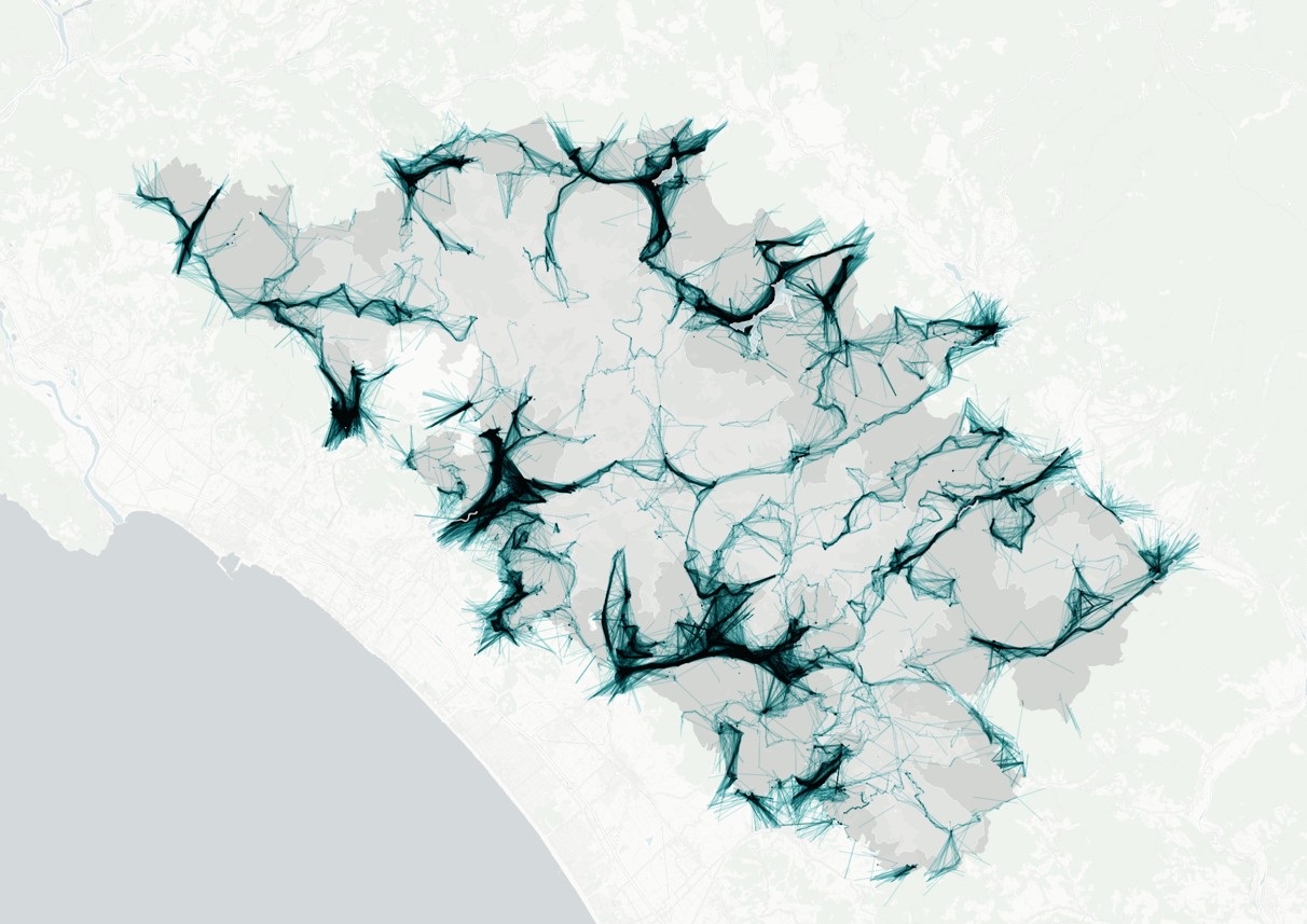
MIC-HUB builds origin-destination (OD) matrices for a given population based on GPS signals. we analyse trajectories and through-flows across specific urban nodes or commercial sites. Using big data, MIC-HUB also produces footfall and dwell time analyses, as well as entry and exit profiles, for specific locations. This analysis includes origin mapping and the definition of catchment areas for specific urban attractions.
Read lessTime-series analysis and identification of recurring travel patterns
Origin-destination matrices
Trajectory reconstruction and estimation of through-flows
Site-specific analysis of footfall, dwell times and daily entry/exit profiles
Analysis of catchment areas for sites and transport systems
See the projects
![[:en]Aurora-Barriera Regeneration Project, Turin[:it]Rigenerazione Aurora-Barriera, Torino[:]](https://www.mic-hub.com/wp-content/uploads/2025/11/Torino-AuroraBarriera_people-density-weekday-day.jpg)